|
|
|
|
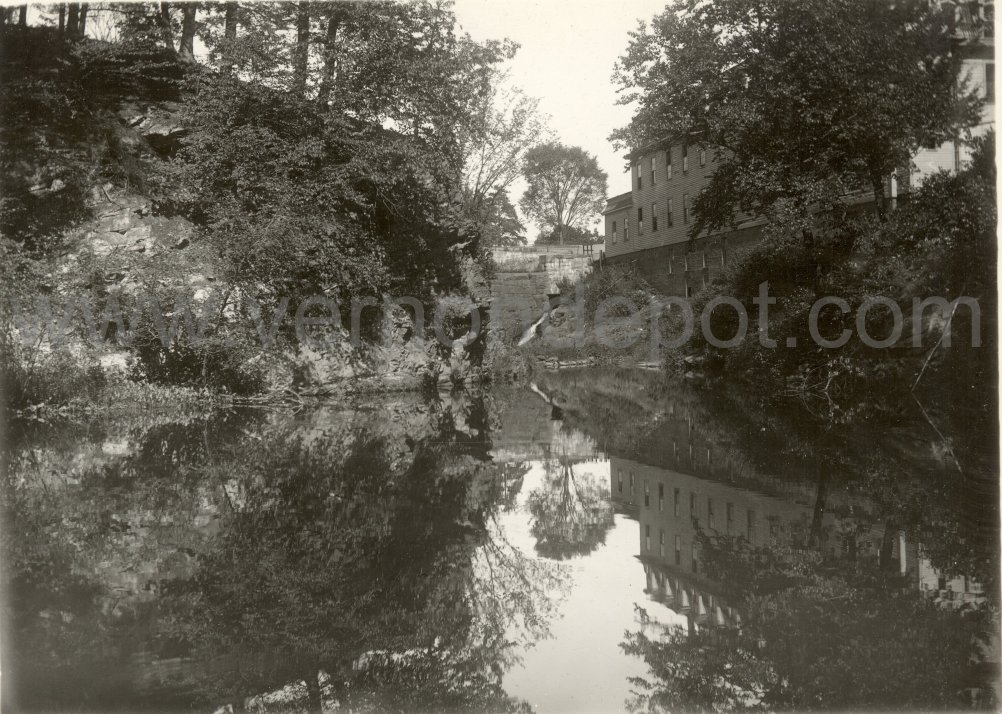
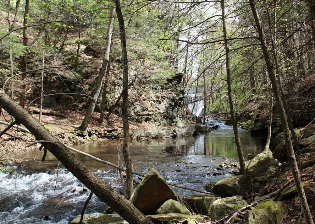
| The photo on the right was taken from the south side of the river, near the remains of the old dam, looking upstream towards Dobson Road. Some of the stones from which the dam was constructed are scattered about in the foreground. The entrance to the the canal, which serviced the other mill downstream from here, is to the left, and is above the water level in modern times. The river was deep and relatively still here when the dam was in place. The rocky "shelf", which runs along the north shoreline at the base of the rock outcrop, is under water in the old photograph. |